6.12.2(f) AGL;
AGL stands for above ground level
When using AGL, we are referring to our height above the ground

6.12.2(f) AGL;
AGL stands for above ground level
When using AGL, we are referring to our height above the ground
6.10.4(b) Place/bearing/distance;
When making a position report in relation to a bearing and distance, an accurate bearing to or from a position, place or navigation aid; with a distance gives an accurate position report.

6.8.4. Explain the difference between speed and velocity.
Speed is the rate at which distance changes over time.
Velocity is the speed and direction of particular object
A statute mile is a unit of length, equal to 5,280 feet or 1,760 yards (1,609 meters)
It has no relationship to angular measurements and its practical application in navigation at the present time is nil.
Describe the method of operation of Primary RADAR.
Describe the method of operation of Secondary RADAR.
Primary RADAR works on the “echo” principal, where signals from the ground-based RADAR aerial strike an aircraft and scatter in many directions. Some of these will return to the Radar aerial.
The time taken between signals leaving the aerial and the “echo” being received is an indication of distance

Secondary Radar relies on a piece of equipment aboard the aircraft known as a “Transponder” which instantly sends a RADAR response signal back to the RADAR installation.
Time taken between signal leaving the aerial and the response being received is function of distance and location.
Fold a map in a manner appropriate for a VFR cross-country flight.
When flying a VFR cross-country flight, it is vital that the map is folded in a manner that allows quick viewing of the selected route and surrounding features; and is small enough that it does not impair the controls or visibility in the cockpit.

1:60 rule computations
The 1 in 60 Rule is based on the assumption that 1 nm subtends at an angle of 1 degree at a distance of 60nm
1nm off in 60 nm = 1 degree
In typical situations if you know how far you have travelled and how far off track you are, you can determine the Track Error.
If you know the Track Error and the Distance you can determine the Distance off-track
60 / Distance Gone = Track Error / Distance Off
Some pet calculations for division..
For example what is 15 / 3 = ??
To calculate this on the wizz wheel, setup 15 over 3 and now you have a ratio. Simply find the 1 or 10 on the inside and, the answer is on the outside.
Example 1.
1. Find the 15 on the outside scale
2. On the inside line up the 3 or 30
Describe the Factors that affect the Times of Sunrise and Sunset (daylight)
Seasons and latitude effect times of sunrise and sunset.
During summer the beginning of MCT is earlier and the end of ECT is later (days are longer, nights are shorter).
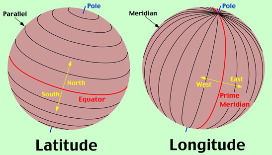
The opposite occurs during winter. This season effect is affected by latitude, as the seasonal effect has less effect at the equatorial regions and greater at the Poles eg 24 hr light during summer.
Because the Earth’s axis is inclined to the sun, different latitudes on the same given meridian have the same Local Mean Time but different periods of daylight and darkness.
It is also worth noting, that surrounding terrain effect sunrise and sunset times. On flat terrain, where there is a flat visible horizon, as soon as the sun rises it is visible; where as next to a large mountain or similar, it may take minutes if not more, for the sun to become visible.