8.26.6 Describe the operational characteristics of the visibility sensor used in Automatic Weather Stations (AWS) and reported in METAR AUTO reports

8.26.6 Describe the operational characteristics of the visibility sensor used in Automatic Weather Stations (AWS) and reported in METAR AUTO reports 

The visibility sensors used in AWS are called ‘Forward Scatter Meters’. They fire out a beam of infrared light which is scattered by minute particles floating in the air. Some of the light beam will be scattered into the
receiver about half a metre away. From the amount of scatter received, the instrument can measure the turbidity of
the air, and then calculate the horizontal visibility by extrapolation. They operate by day or night. 

The visibility is only sampled near the sensor; therefore, the limitations are: 

• The prevailing visibility may be much better than reported if there is localised mist or fog near the sensor
only. In such situations, it would be useful to view a sequence of recent reports rather than one routine
report in isolation. 

• The prevailing visibility may be very poor in some areas around the aerodrome if fog has formed over the
airfield but not near the sensor. 

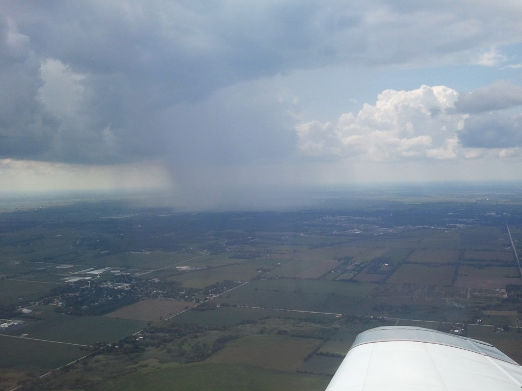
• Approaching poor visibility associated with an isolated shower, or rain with a front will not be measured
until it reaches the sensor. 

• The sensor cannot determine directions where there are significant visibility variations. 

• Most of the MetService visibility sensors are limited to reporting visibility up to 20km only. Thus, when
visibility is reported as 20km, it could be considerably better than that. 

8.26.4 Explain why illumination from the sun or moon has no effect on prevailing visibility

8.26.4 Explain why illumination from the sun or moon has no effect on prevailing visibility

Visibility is not a function of illumination, but rather a function of the transparency of the air. For example, at night
the visibility might be 30km, but unless an object up to 30km away is illuminated, we can’t see it. So, to perceive objects with our eyes, they must be illuminated in some way. 

In the absence of any illumination on a very dark night,
the visibility may still be excellent. Sunlight and moonlight simply provide illumination to an already existing visibility,
but they do not alter the visibility at all.

26.2 Define Prevailing Visibility

8.26.2 Define Prevailing Visibility

Visibility is the greatest horizontal distance at which a black object can be seen and recognised against the sky at
the horizon in daylight and is a ground-based observation only. 

Prevailing visibility is the visibility as reported and forecast in METAR AUTOs, TAFs, TRENDs etc. It is the maximum
horizontal visibility covering at least half of the total horizon (note: the visibility may be a maximum in several
different directions. 

These areas do not have to be adjoining so long as their combined total covers at least half the
horizon).
Effectively, this means the prevailing visibility is the distance at which some detail can be seen. For example, if a
range of hills is 30k m away and you can see the hills but can’t make out any detail or contrast between objects, the
prevailing visibility is something just short of 30km – say 25 to 28km. For this reason, visibilities recorded by human
eyes are subjective.
If there is a large enough difference between the maximum and minimum visibilities, the minimum visibility is also
reported along with its direction.

8.24.2 Fog

Define fog

Fog is cloud on the surface whatever that surface may be

8.24.8 Describe the characteristics of the following types of precipitation

Describe the characteristics of the following types of precipitation:
a)  continuous; 
b)  intermittent; 
c)  showers. 

a)
Continuous precipitation such as rain, drizzle or snow implies thick and extensive cloud not likely to clear in the short term

b)
Intermittent precipitation suggests that temporary improvements are likely

c)
Showers of rain, hail or snow can only form from cumuliform cloud
Characterised by bright periods between periods of precipitation
Showers have sudden onset and cessation

8.24.10 Define the rate of precipitation

Describe the following rates of precipitation:
a)  light; 
b)  moderate; 
c)  heavy. 

Assessed by monitoring a rain gauge
The larger the drops the heavier the precipitation

a) Light

Between a trace of rain and 2.5 mm per hour

b) Moderate

 More than 2.5 mm per hour and less than 10 mm per hour

c) Heavy

More than 10mm per hour

8.24.8 De

Describe the following terms in relation to precipitation: 

(a) Continuous rain; 

Continuous rain only falls from stratiform or layer cloud: nimbostratus (Ns) and, sometimes, from thick altostratus
(As) or stratocumulus (Sc). Rain is characterised by a gradual beginning and ending, and a steady rate of fall.
Sometimes breaks occur in the rain for a short period. In this case, there is not a break in the cloud sheet, just a
thinning of it. 

(b) Intermittent rain;
Intermittent precipitation is like continuous precipitation in that it falls from layer clouds. The only difference is that
the clouds are slowly thinning, and the rain is becoming intermittent prior to cessation, or the cloud is slowly
thickening, in which case, the rain will eventually become more persistent. 

(c) Showers. 

Showers fall only from cumuliform cloud – cumulonimbus (Cb) and sometimes well-developed towering cumulus
(TCu) i.e. from the “tall, towering” type clouds. Showers are characterised by their abrupt beginning and end and by
the generally rapid and sometimes violent variations in the intensity of the precipitation. In general, they are of short
duration with fine intervals between the showers. There can be showers of rain, sleet, snow or hail.

8.24.6 State the difference between large drizzle and small rain droplets

8.24.6 State the difference between large drizzle and small rain droplets

Scientifically, the changeover point from a large drizzle droplet to a small rain droplet occurs at 0.5mm, however
measuring the size of a droplet would be very difficult without some very expensive instrumentation. 

A much easier way to measure droplet size exists – simply look at the droplets falling into a puddle. If the droplet
creates a ringlet which spreads out across the puddle, it is a rain droplet. If there is NO ringlet, it is a drizzle droplet –
simple as that.

8.24.4 Describe the following types precipitation ..

Describe the following types of precipitation:
a)  rain; 
b)  drizzle; 
c)  snow; 
d)  sleet; 
e)  hail. 

a) Rain (-RA, RA +RA, -SHRA, SHRA, +SHRA); 

Rain is liquid precipitation (with droplet sizes bigger than drizzle droplets – see 8.24.6). Most rain in New Zealand
starts life as snow which melts when it falls beneath the freezing level. Rain comes in two forms – continuous and/or
intermittent from stratiform cloud, and showers from convective type clouds. 

(b) Drizzle (-DZ, DZ, +DZ); 

Drizzle is uniform precipitation composed exclusively of small droplets of water very close to one another. The drops
appear almost to float, thus making even slight movements of the air visible. Drizzle falls from a continuous and
97
Meteorology for PPL Pilots (Ed 2) © Meteorological Service of New Zealand Ltd
dense layer of STRATUS cloud, usually with a low base which may, at times, touch the ground. To an aviator, the
worst feature of drizzle is the reduction in visibility which can be very marked at times. 

(c) Snow (-SN, SN, +SN); 

Snow consists of ice crystals which have coalesced to form a snowflake. Snow occurs when the freezing level is so
near the earth’s surface that aggregations of ice crystals do not have time to melt before reaching the ground.
Generally, this means that the freezing level must be below 1000 ft AGL. 

(d) Sleet (-SNRA, SNRA, +SNRA, -RASN, RASN, +RASN); 

Sleet (a mixture of rain and snow) is especially likely when the air temperature at the surface is about 1 to 2°C. Sleet
rarely occurs with an air temperature above 4°C. 

(e) Hail (-GR, GR, +GR and -GS, GS, +GS)

Hail starts life as an ice embryo high up in a Cumulonimbus (Cb) cloud. This embryo gets caught up in the cycle of
updrafts and downdrafts within the cloud, gaining a layer of rime ice each time it reaches the higher, colder levels in
the cloud and a layer of clear or glaze ice when it is in the lower, warmer (but still colder than zero Celsius) part of the
cloud. Note that these processes are identical to those which cause airframe icing (see §8.28).
Hail eventually becomes too heavy to be supported by the up-drafts and falls from the cloud base or is ejected from
the side or even from the anvil of the cloud.
Most hail in New Zealand is small and is sometimes also called “graupel”. But in intense storms, large hail can reach
marble or even golf ball size and may be encountered in clear air up to 5 km from the anvil of the cloud that
produced it.

b) Drizzle
This is generally associated with shallow low level cloud such as stratus.
Droplets are fine and close together

C) Snow

d) Sleet

e) Hail

8.24.2 Define..

Define:
a)  precipitation; 
b)  virga. 

a) Precipitation
– means liquid drops or ice crystals falling from cloud and contacting with the surface. It comes in many forms;

 – Drizzle
 – Freezing Drizzle
 – Rain
 – Freezing Rain
– Snow
 – Sleet
 – Hail – small or large
 –

b) Virga

This is any type of precipitation which falls from a cloud but which evaporates before reaching the ground